

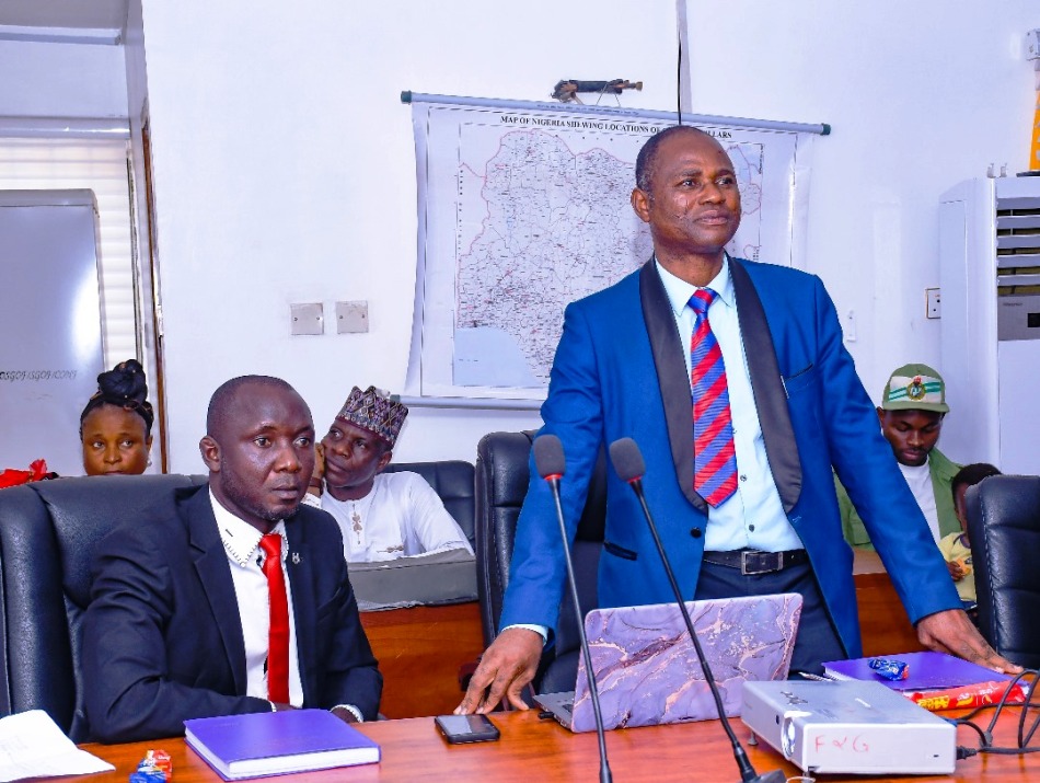
The Surveyor-General of the Federation, and also the Chairman of the Governing Council of the African Institute for Geospatial Information Science and Technology (AFRIGIST) Surv. Abuduganiyu Adebomehin has stated that Afrigist must be able to solve community problems by teaching the relevant courses in surveying, and should the institution continue to teach only GIS Geographic Information System (GIS) related courses without giving preference to practical solutions to problems especially through surveying, the school would be overhauled.
Adebomehin made this remarks after listening to three graduates of the school who presented their course project to him in his office, today.
Afrigist aim to provide nationals of African countries with theoretical and practical training in the field of aerospace surveys and geoinformatics, including remote sensing, photogrammetry, cartography, geographic information systems and airborne geophysical surveys, so as to meet manpower requirements of African countries in the stipulated fields; conduct research and studies with particular reference to peculiarities of the African environment and needs.
After listening to the presentation of the graduates, Surveyor General said “You are not solving surveying problems if what you do is to just learn the rudiments of Geographic Information System( GIS), lecturers must not just agree with students in order to graduate, graduating students must be able to find a problem within Surveying and find a solution to it, and should be able to write a programme to solve community problems.”
While making his recommendation to Afrigst, he said “the School must go and employ surveyors to teach Geodesy, the school is not meant for GIS alone, it is set up by United Nation to solve problems that cannot be solved in the world when faced with challenges, it is not just a normal school where they take all students. We may overhaul the institution if the lecturers are only Geography based, because lecturers must teach what they don’t know.“
In his last remarks, Adebomehin told the staff to widen their areas of concentration in Hydrography because some of them may be sent to National School of Hydrography and without full knowledge of it there may be challenges for them.
Earlier, one of the graduates Surv Tsenongo Manasseh who presented his thesis before the Surveyor General of the Federation on Multi-Criteria Decision Analysis For Assessment Of Flood Risk In Makurdi Local Government Area, Nigeria, says “There’s also a need to develop real-time GIS-based monitoring and alert systems using satellite data and IoT sensors and additionally, a deeper analysis of policy frameworks and governance is needed to address institutional gaps.”
Adegboye Babajide Femi Assistant Director in Geodesy Department Of OSGOF during his own presentation said “Implementing efficient urban planning strategies that prioritize the conservation and integration of green spaces can help alleviate the effects of land surface temperature and prevent the impacts of urban heat islands.”
Youth Corpers, Industrial Training students of Surveying, young surveyors, management staff of OSGOF were all at the presentations.
Signed
Henry David
Head Information and Public Relations
18th September, 2025


