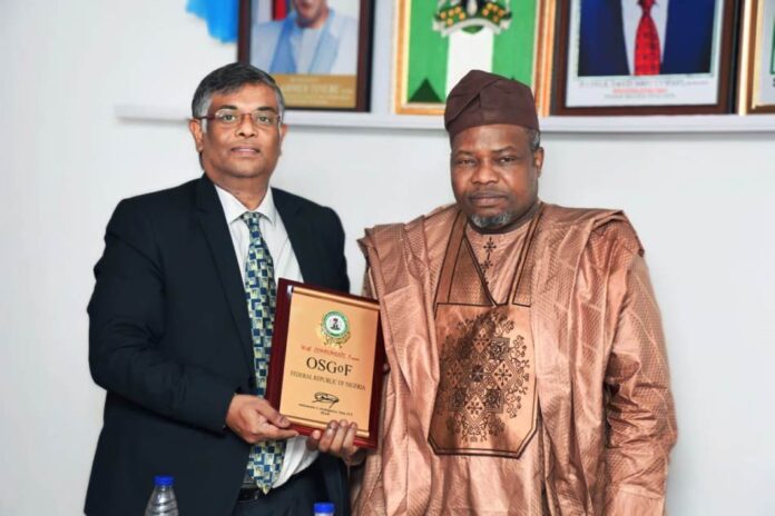
Through the Office of the Surveyor-General of the Federation, the Federal Government is to collaborate with the Indian Government on Geospatial Mapping and technical expertise exchange, remote sensing, carbon mapping, and auto imagery. This was made known today, when the Surveyor-General, Surv. Abuduganiyu Adeyemi Adebomehin received H. E. Indian High Commissioner to Nigeria, G. Balasubramanian.
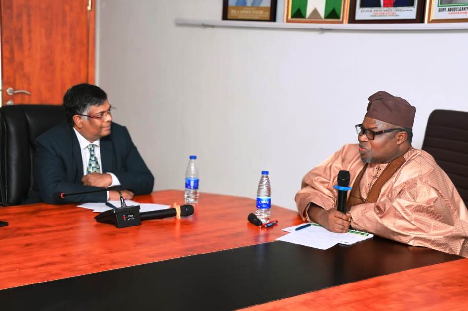
The Indian High Commissioner stated that the reason for the visit was to seek collaboration on behalf of the Surveyor General Office of India and the government of Nigeria on the new geospatial policy inaugurated by India, by reaching out to major countries.
H.E. Amb. Shri, highlighted India’s strength in remote sensing and space capabilities due to the satellite coverage of the country for geographical mapping. He stated that Hydrography, Remote Sensing, Surveying training, and technical expertise exchange are key areas in which both countries can work together.
The Ambassador reiterated the use of Artificial Intelligence to provide auto imagery as India has a high resolution of images. Hence, the proposed collaboration with Nigeria, so there can be harmonization of data sets. He looked forward to receiving a copy Memorandum of Understanding from Nigeria.
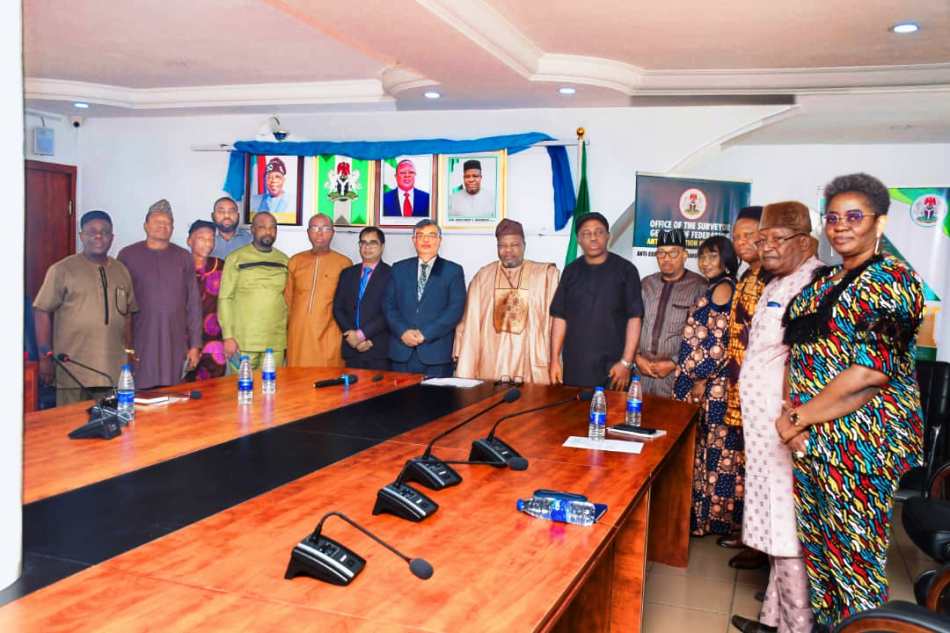
He said that India is ready for a partnership and cooperation with Nigeria, and he assured that the pending Memorandum of Understanding on Hydrography between India and Nigeria which is pending would be attended to soon.
Responding, Surveyor-General of the Federation described the office as the only one that defines Nigeria. He affirmed the office is very much available for collaboration in the geospatial area, leveraging India’s strength in joint mapping using their imagery and other related matters. He said now that the Indian government has established its geospatial data infrastructures while Nigeria is still trying to establish its own that is the area the two countries can collaborate.
He said Nigeria can take advantage of India’s satellite to capture the carbon underground and its location so that Nigeria can be proud of what they have. “Another area of the proposal I want India to come in is the area of Agriculture, to see how India’s geospatial data can be applied in the area of foods production and security,” he said.
He said that the office had benefitted from the India technical expertise training in the past and appealed for the reactivation of training as human capacity development is key. He promised that the collaboration would be pursued with all vigour to see how it could be beneficial to both countries.
Sani Datti
Head Press and Public Relations


